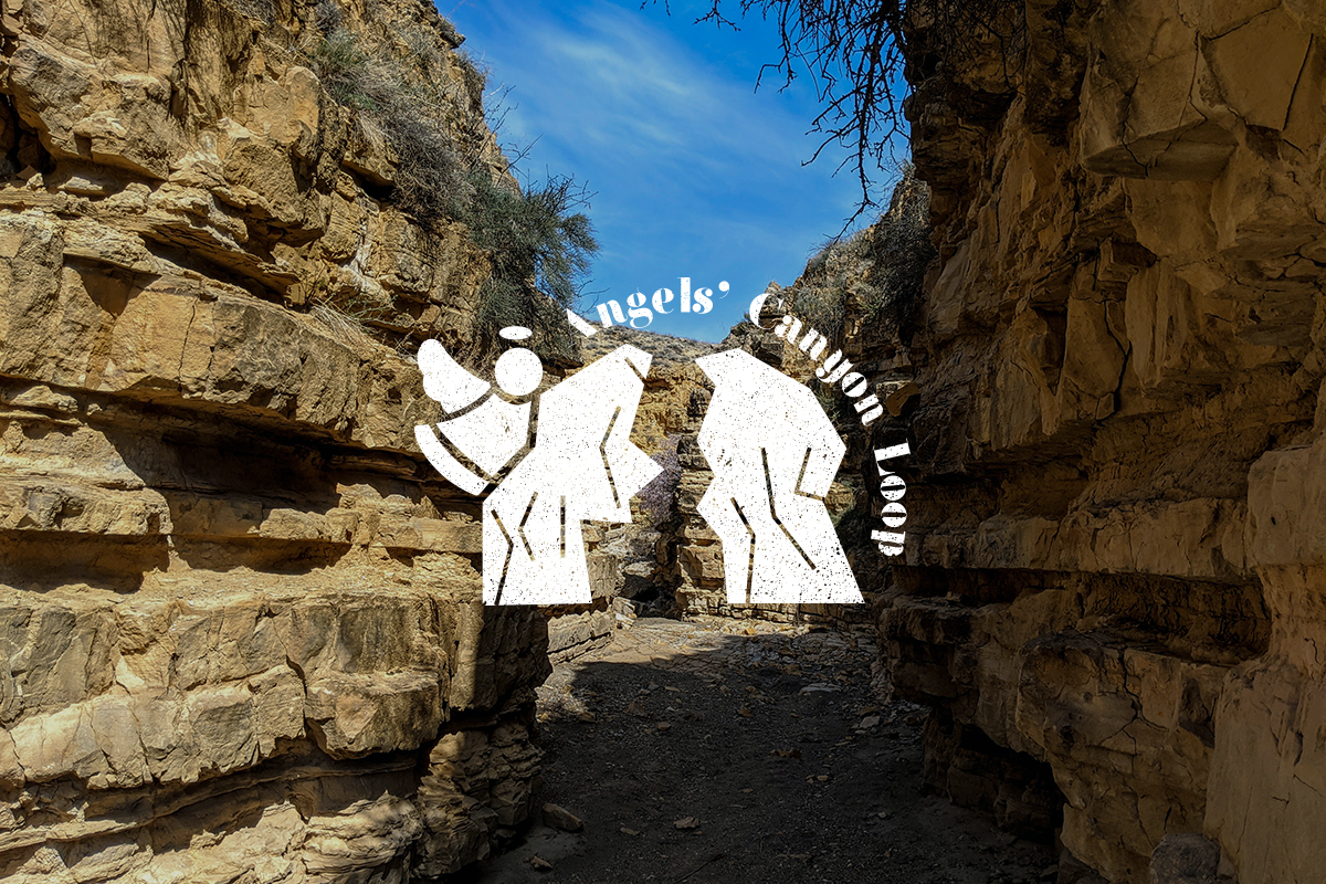
Angels' Canyon Loop
Angels' Canyon Loop
2.5 h
10.9 km
952 m
1,187 m
Easy
Things to see
Angels' Canyon

×
This beautiful little canyon is just an hour away from Yerevan, and yet many people, including locals, have never heard of it. Be among the first to discover Angels’ Canyon!
Just beyond the city of Vedi lies the small town of Dashtakar, a roughly 50 min drive from Yerevan. Before you enter the gates of the village, you’ll see the first directional sign that points you down a dirt road to the Angels’ Canyon Loop on your left. Drive down this access road following the Barakaghbyur River for a little over 3 km until you hit a shallow river crossing. Park there, or cross the river if you're in a 4x4 vehicle. After crossing the river continue in the same direction until you reach the second directional sign — this is the true start of the trail. The loop will bring you back to this second sign at the end of your hike. From this sign, follow the trail to the left to reach Angels’ Canyon (called Hreshtakneri Dzor in Armenian).
The canyon itself is short but beautiful and quite unique. The jagged red rocks give it a Martian-like feel, and it’s proximity to the Khosrov State Reserve means there’s a variety of wildlife to see along the way, from the Armenian tortoise, which you may find putzing around your feet, to the steppe eagle soaring high above the ground.
To continue hiking the trail at the end of the canyon, you'll have to scramble up the rocks to the other side (it’s an easy climb) and follow the dry river bed. While the trail is on the wilder side, it is marked. But if you find yourself in doubt, just follow the clearly visible riverbed or animal paths made by the local grazing sheep (and the GPS tracks in our app). You’ll eventually see another directional sign once you meet the dirt road at the halfway mark. From there, simply follow the sign down the dirt road and from whence you came while taking in the view of the surrounding hills and Mt. Ararat, the national symbol of Armenia, just beyond them.