ANT 28 Gandzakar to Hovk Trail
ANT 28 Gandzakar to Hovk Trail
7 h 24 m
20.3 km
1246
788
Hard
Things to see
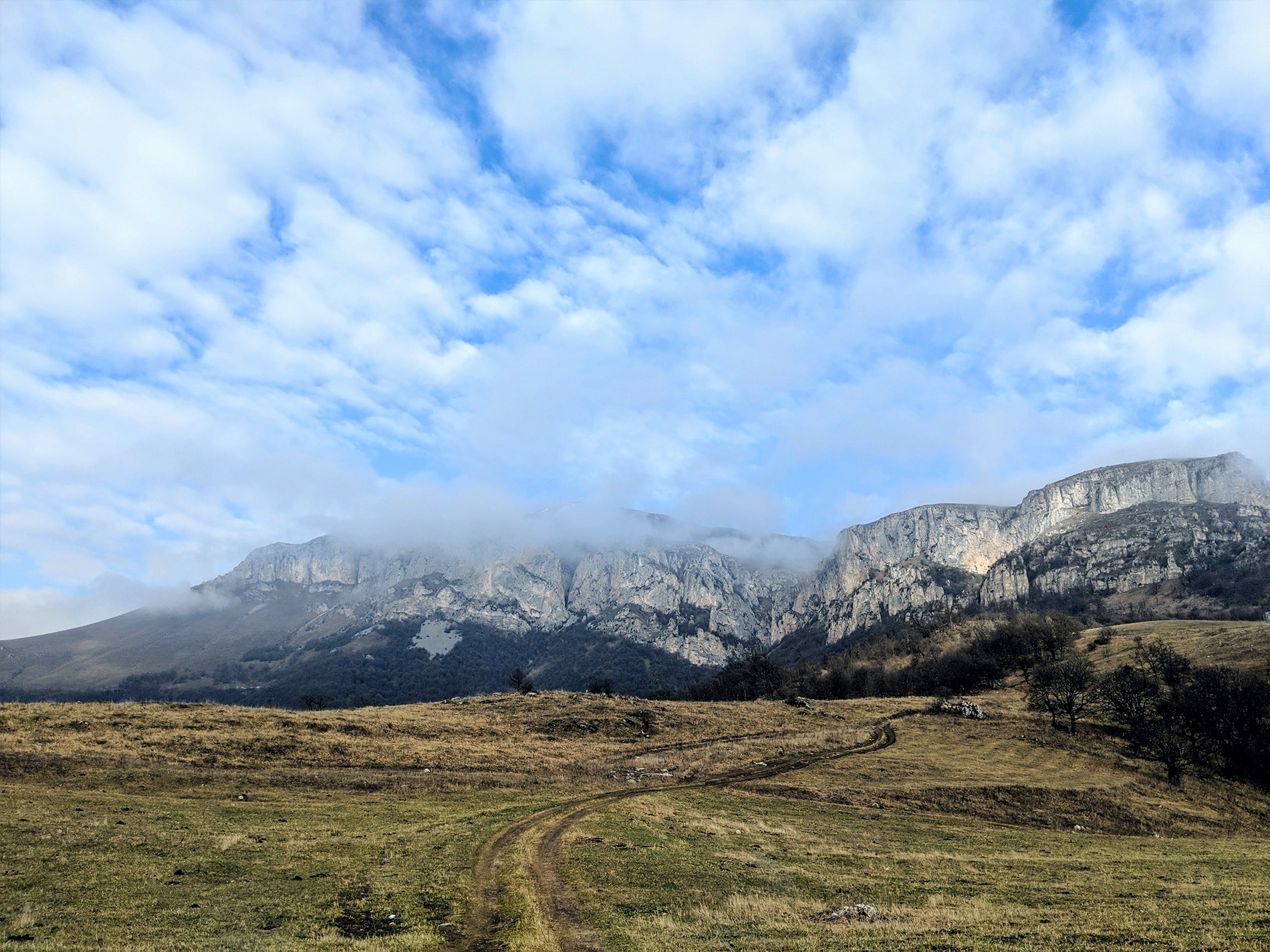
Hovk Cliffs
×
Gandzakar and Hovk villages are connected by a 20.3km trail of medium difficulty. The Armenian National Trail begins in the center of Gandzakar, along the asphalt road, continues toward the village’s newly renovated school, and then turns right. A steep rocky hill leads up to open pastures with a stunning view of the magnificent Tesilk Mountain, which rises sharply above the Urtajur River valley.
Before the 1 km point, the trail reaches a junction where the markers turn left and begin ascending another steep hill. Passing through shrubs and young trees, the path leads to a wide meadow and begins descending to the left. The trail then bypasses an area of bushes and gradually climbs another hill. Soon it meets a wider road that leads into open fields along the mountain ridge. From here, beautiful landscapes open up over the mountains and nearby settlements. The trail continues flat for about 2 km before descending toward the forests and the Aghstev valley.
Inside the forest, the trail passes near the medieval fortress of Mantashaberd, visible on the right side behind dense trees atop a cliff. From there, the trail continues for another 2 km toward the highway, where you cross a bridge and hike alongside the railroad. It then runs parallel to the highway, crossing it twice over bridges. Leaving the asphalt road, the trail rejoins a narrow path on the left, passes through open fields, and eventually ends near the main road in the village of Hovk.
Water sources/information:
On the main road inside Gandzakar village you can find grocery stores to buy water and food. Inside Hovk there is another shop to buy bottled water. There are no active springs along the trail.
Trail Notes:
The trail is very picturesque, with many tree-lined sections. However, during the green season the vegetation becomes dense, making it difficult to spot the trail markers. In the open fields, the trail poles are sometimes damaged by strong winds or cattle. While hiking, you need to stay attentive so you don’t miss the markings.