
ANT 29 Hovk-Haghartsin Trail
ANT 29 Hovk-Haghartsin Trail
11 h
25.9 km
2393
1121
Medium
Things to see
Haghartsin Monastery

Hovk Cliffs
×
The Hovk–Haghartsin trail stretches for 25.9 km and showcases the diverse, high-altitude landscapes of the Tavush region. The hike passes mainly through Dilijan National Park and reveals some of the most iconic views of the Ijevan mountains.
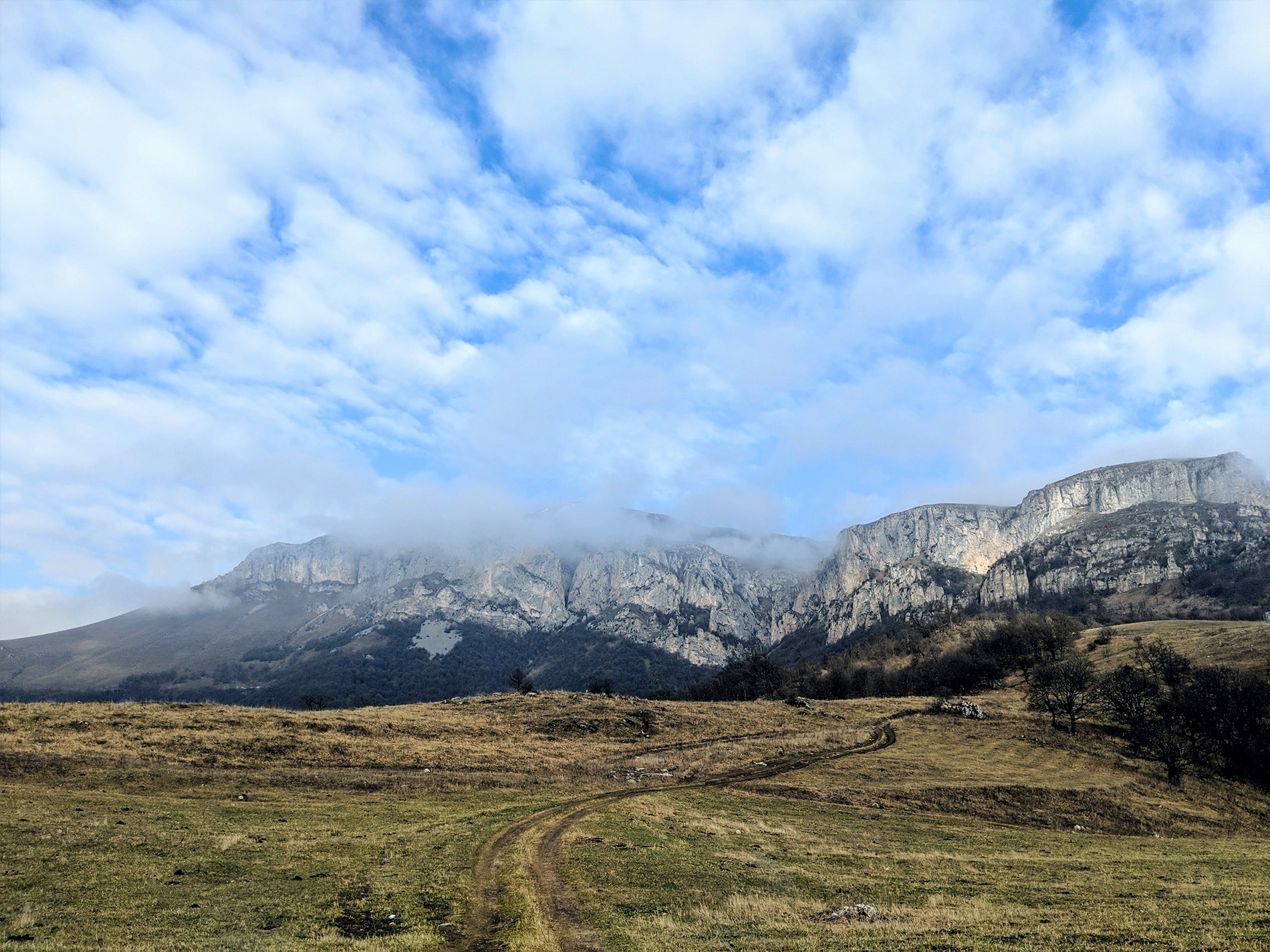
The Armenian National Trail begins on the central street of Hovk and climbs the hill through shrubs and meadows. At around 3.5 km, you reach the slopes of Mount Apakekar. To reach its summit, the trail markers turn left, while the Armenian National Trail continues straight upward. The limestone cliffs may look impassable, yet the trail climbs these steep terrains and follows the ridge. The elevation gain between the village and the highest point of the hike—Mount Dimats (2378 meters)—is nearly 1000 meters. The route crosses vast open fields and steep mountain slopes, offering hikers expansive panoramic views.
After passing Mount Dimats, the trail gradually begins to descend. Over the last 3 kilometers, the path drops steeply through forested areas toward Haghartsin Monastery. During the final kilometer, the trail markers also point to the right toward the Hidden Waterfall. Continuing straight will lead you to the asphalt road, with the monastic complex directly ahead.
Water sources/information:
In the center of Hovk, behind the school, there is a grocery store where you can buy bottled water and food. There are a few water springs along the trail, but they may be dry depending on the season, so it is best to take enough water with you before starting the hike. In the Haghartsin Monastery area, you can find two water springs.
Trail Notes:
In some sections Hovk-Haghartsin trail coincides with the Three Hawks Trail and Transcaucasian trail. To complete Armenian National Trails route you need to follow the trail marking with ANT logo.
The Armenian National Trail begins on the central street of Hovk and climbs the hill through shrubs and meadows. At around 3.5 km, you reach the slopes of Mount Apakekar. To reach its summit, the trail markers turn left, while the Armenian National Trail continues straight upward. The limestone cliffs may look impassable, yet the trail climbs these steep terrains and follows the ridge. The elevation gain between the village and the highest point of the hike—Mount Dimats (2378 meters)—is nearly 1000 meters. The route crosses vast open fields and steep mountain slopes, offering hikers expansive panoramic views.
After passing Mount Dimats, the trail gradually begins to descend. Over the last 3 kilometers, the path drops steeply through forested areas toward Haghartsin Monastery. During the final kilometer, the trail markers also point to the right toward the Hidden Waterfall. Continuing straight will lead you to the asphalt road, with the monastic complex directly ahead.
Water sources/information:
In the center of Hovk, behind the school, there is a grocery store where you can buy bottled water and food. There are a few water springs along the trail, but they may be dry depending on the season, so it is best to take enough water with you before starting the hike. In the Haghartsin Monastery area, you can find two water springs.
Trail Notes:
In some sections Hovk-Haghartsin trail coincides with the Three Hawks Trail and Transcaucasian trail. To complete Armenian National Trails route you need to follow the trail marking with ANT logo.