ANT 20 Marts to Lorut
ANT 20 Marts to Lorut
4h30m
12.8 km
1496
1077
Medium
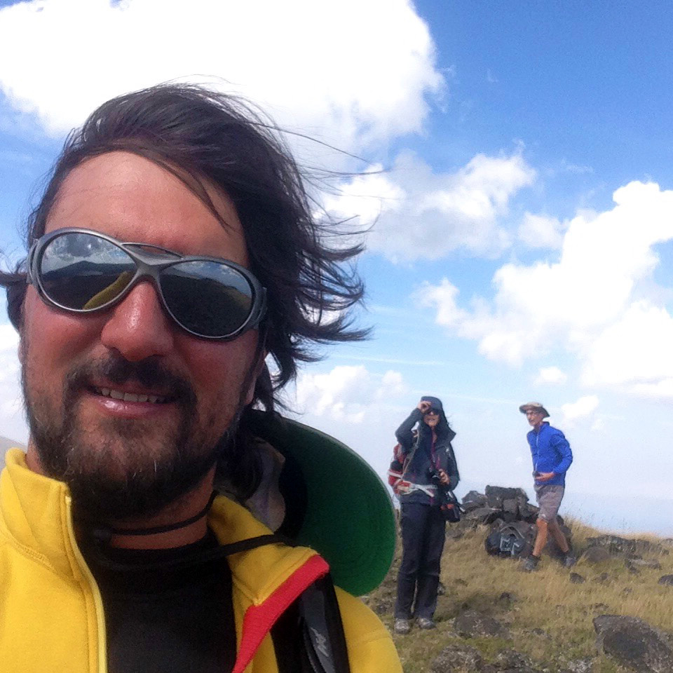
Welcome to the historical area of Motkor. The trails that connect Marts, Lorut, Shamut, and Atan were once part of a larger settlement known as Motkor. Although the settlement itself is now gone, a few scattered ruins throughout the mountains serve as reminders of its once glorious past. Locals still use the name Motkor to refer to one of the medieval bridges and a stream flowing below the gorge. Even today, this area, with its diverse nature and landscapes, is considered the Queen of the Lori province.
The trail linking Marts to Lorut begins in the heart of the village and spans 12.8 kilometers in total. Starting at an elevation of 1120 meters, you'll descend to the Marts river and enjoy a pleasant hike alongside it for approximately 5 kilometers. Along the way, you'll pass by old and active barns, and may encounter friendly peasants tending to their farms. Keep an eye out for ruins of medieval bridges spanning the river. After crossing another bridge, the trail ascends through the woods towards Lorut, rewarding hikers with stunning views over the Marts canyon after gaining around 300 meters in elevation. The trail concludes in the center of Lorut, from where you can either continue towards Shamut or hike back to the main road.
Water sources/information:
Make sure to bring water with you before starting this journey. While you may come across water springs along the river, they could be dry depending on the season.
Trail Notes:
The car road from Marts to Lorut is under construction these days. In some parts closer to the river the trail can be a bit muddy or with deep wheel tracks.

.jpg?sfvrsn=fbeddd8d_8)