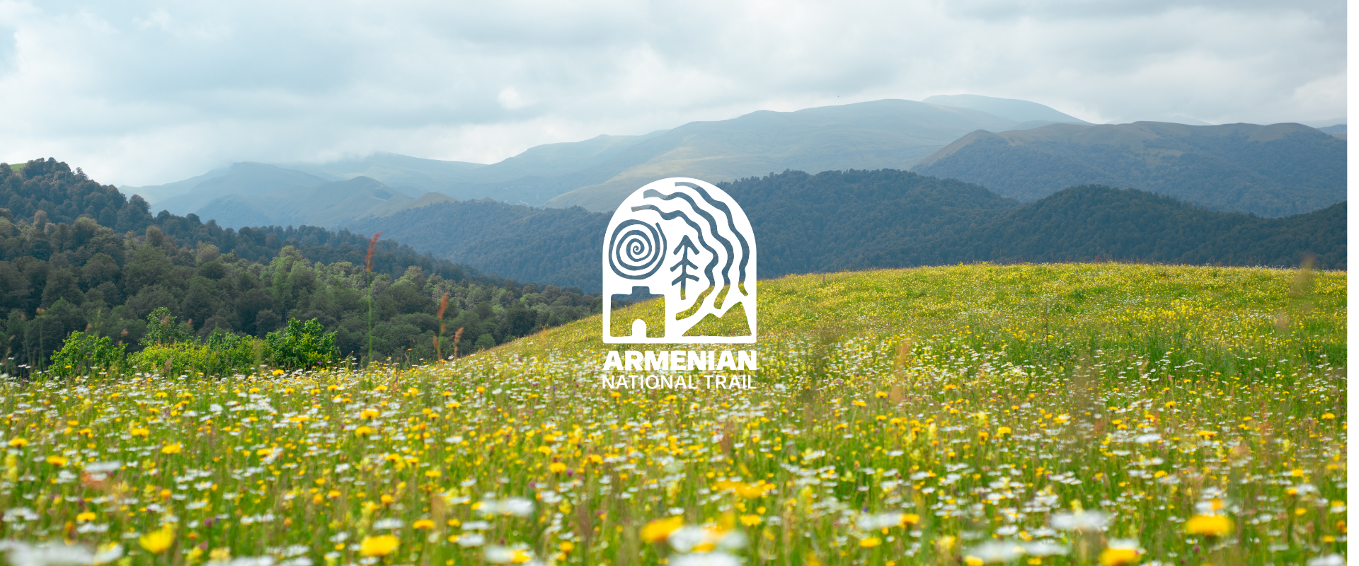
ANT 22 Shamut to Atan
ANT 22 Shamut to Atan
3h30m
8.8 km
1836
1512
Medium
This trail connects the villages of Shamut and Atan. The total length of the trail is 9.1 km. Shamut, nestled amidst forested mountains, derives its name from the abundance of pine trees called "sham" in the local dialect. Inside the village, a hill covered with tall pine trees serves as the graveyard. Nearby, travelers can find a refreshing cold water spring before embarking on the trail leading to Atan.
The trail ascends steep mountain ridges, presenting a challenge with its 700-meter elevation gain but rewarding hikers with breathtaking panoramic views of the historic Motkor village group and surrounding mountains. As you leave Atan, you encounter three water springs and remnants of old barns. On the 3rd kilometer mark there is a fenced picnic shelter and drinking water source conveniently situated before the steepest climb. This can also serve as a nice camping ground. The trail then ascents towards the summit and walks you on the ridge until it goes down towards the forests. Here, another water spring and river-side picnic spots await before the final ascent into the village, offering yet another stunning vista over Atan.
The trail is also suitable for mountain biking, particularly if you begin from Atan and mostly cycle downhill. You can continue the trail connecting Atan to Aghbugha, or walk towards the main road that will eventually reach the Vanadzor-Alaverdi M6 highway.
Water sources/information:
You will find three water springs inside Shamut, and three more sources on the way to Atan.
Trail Notes:
As you reach the mountain ridge, trail blazes become less. As you encounter two dirt road junctions, take the one going to the right, descending towards the forests and the river.