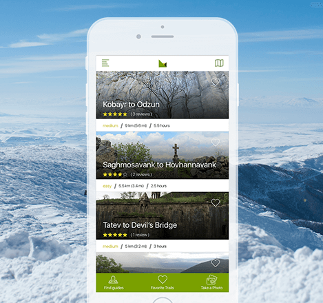
Sevan Dream Trail
Sevan Dream Trail
3.5h
8.1 km
2255m
1910m
Medium
The trail starts near the Sevan Botanical Garden and continues northeast through the Arjanots Mountains. The park is unique in that, being at an altitude of 2000 m, it has more than 450 species of flora. The Arjanots Mountains are the southeastern branch of the Pambak mountain range. Throughout the ascent, you can admire the views of Lake Sevan, Arjanots, Geghama and Areguni mountains.
Lake Sevan is one of the largest and freshwater (alpine) lakes in Eurasia, the largest in the Caucasus in Armenia. According to one of the theories of the lake's origin, it was formed in the Quaternary period. There was a volcanic continuum and, as a result, the inflow of glacial meltwater into the intermountain tectonic depression.
After walking 5 km from the start of the trail, I observe a wonderful view of the Sevan Peninsula (formerly an island, turned into a peninsula in the 1930s due to the artificial lowering of the lake level). From the signpost / 40.574319, 44.979576/, continue straight on the main trail to the observation point. There, sitting on a bench near the top, you can enjoy the view of Lake Sevan.
Returning from the top to the same signpost / 40.574319, 44.979576/, you can walk in two directions. To the left is the Sevan Peninsula (where the application map also leads), to the right is the Mashtotsner Chapel, which is missing from the trail map, but is an easy-to-navigate market extension. The directional sign post will help with orientation.
• Sevan Peninsula (3 km)
One of the unique structures of medieval Armenian architecture, Sevanavank, is located on the Sevan Peninsula. The island was fortified with a fortress wall back in the Bronze Age. According to tradition, the church was founded on the site of a destroyed pagan monastery and was consecrated by Gregory the Illuminator in 305. In the 9th century, the princess of Syunik, Mariam, built two churches here: St. Arakelots (the great) and St. Hovhannis Karapet. A construction inscription, written in 874, has been preserved on the eastern side of the drum of the Arakelots Church.
• Mashtots Chapel (2.5 km)
The “Mashtots” chapel was built in the 9th century, it is one of the most beloved pilgrimage sites of the locals, the name of which is associated with the Catholicos Mashtots Yeghivardetsi. In 862, he separated from Sevanavank and came to live as a hermit on the slopes of the mountains opposite Sevan Island and built a chapel next to a cold spring. The chapel is also considered the most mystical and most visited in the region, because the locals are convinced that the water from the Mashtots spring is miraculous and cures many diseases.
In the back is the small and quiet town of Sevan, where young dreamers who love the city, the surrounding mountains and the lake try to connect them with dream trails, the first of which you are about to hike.