Autumn is the season of nature’s most vivid transformations. The heat of summer has retreated, while winter’s icy breath is still on its way. It is precisely at this time that nature reveals its most astonishing moods, as if inviting us into the magical mosaic of autumn colors.
The air is filled with the sweet scents of damp earth, falling leaves, and mushrooms. Morning fogs, so typical of this season, add an air of mystery to the days we spend in nature.
Autumn is a perfect time for hiking not only for those who enjoy watching the changing landscapes, but also for those who seek silence and communion with nature. The warm noons and pleasantly cool evenings make long walks in the forest an absolute delight.
This season offers the chance to rediscover familiar hiking trails dressed in new attire. That is why we suggest you explore the following routes, which, with their colors and diversity, resemble living canvases.
From Goshavank to Lake Gosh

The forested areas of Tavush province in autumn resemble multicolored tapestries. One of the most rewarding hikes is the route to Lake Gosh, which also gives you the chance to visit one of Tavush’s spiritual centers, Goshavank Monastery.
Located in the village of Gosh, on the right bank of the Getik River, the monastery is named after Mkhitar Gosh, the renowned 12th-century Armenian cleric, pedagogue, fabulist, and public figure.
Goshavank was built on the ruins of Getik Monastery, destroyed by an earthquake. It was originally called Nor Getik (“New Getik”), but after Mkhitar Gosh’s death in 1213, it was renamed in his honor.
According to tradition, God appeared to Mkhitar Gosh in a dream, saying:
“Listen carefully, Mkhitar. There will be seven years of abundance. You must store provisions, for the following seven years will bring famine.”
Heeding this divine message, Mkhitar built granaries with monastery resources, filled them with wheat, and when the time of hardship arrived, he distributed grain to the people using a wooden vessel called gush. For this, he became known among the people as Gush or Gosh.
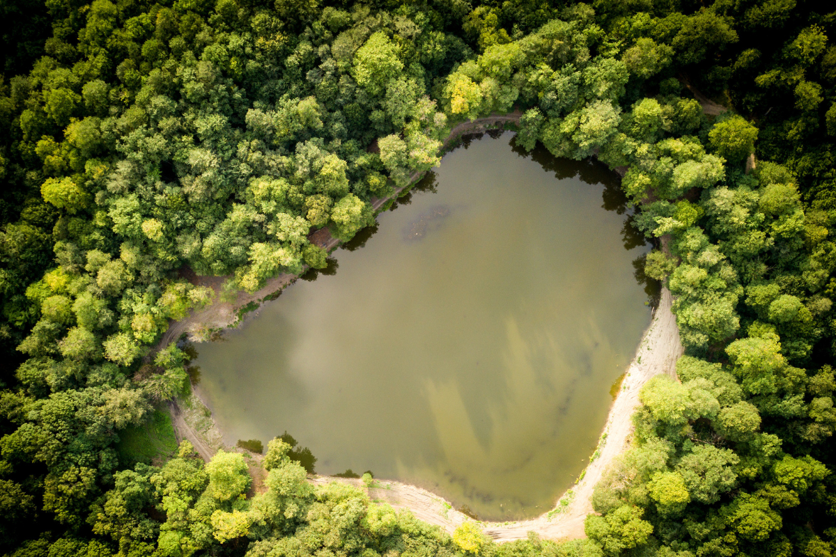
After visiting the monastery and Mkhitar Gosh’s tomb in the village, you can continue your walk to Lake Gosh, hidden in the forest, located 2.2 km southwest of the village.
In autumn, the dense and colorful forest path leads to the lake, which is especially beautiful at this time of year. The lake is 8 meters deep, 80 meters wide, and 100 meters long, fed by rainwater and natural springs.
On dry, sunny days, the surrounding forest is mirrored perfectly on its surface. The trail is easy, 7 km round-trip, and allows for a long rest at the lake. You can make a campfire, prepare tea (there is a hidden freshwater spring nearby), and gather rose hips from the abundant autumn forest. With a bit of luck, you might even find beech nuts.
From Semionovka to Gosh
This is perhaps the most beautiful autumn hike, crossing from one province to another, and also one of the longest. It is ideal if you are ready for a long but truly memorable autumn walk.
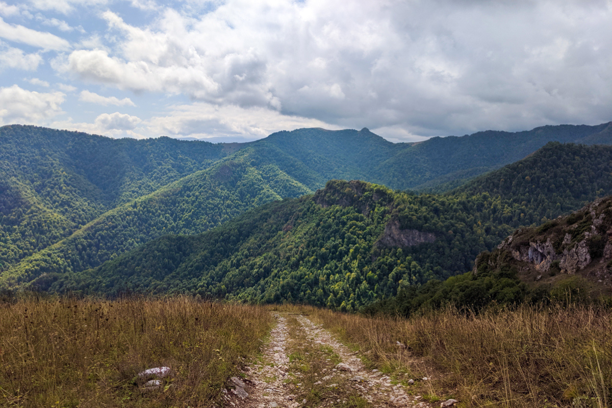
The trail begins in Semionovka village in Gegharkunik province, passes through the Areguni Mountains, and descends into the Khachardzan Gorge. This is the well-known mountain pass linking Gegharkunik and Tavush provinces.
Passing the now-abandoned village of Geghatap, you reach the deserted settlement of Jrmakavan on the left slope of the Getik River valley. Here you can see a surviving wall from the “Spitak Yeghtsi” (White Church), also known as Aghkilisa or Jrmakavank.
The forested trail continues toward Lake Gosh and then on to the village of Gosh.
Since Semionovka is located at a higher elevation than the other settlements, the entire route essentially descends toward Lake Gosh.
The hike is of medium difficulty, about 23 km long, and partially marked.
The Three Hawks Trail

The Three Hawks Trail lies within Dilijan National Park, starting near the village of Hovk.
It leads toward the rocky slopes of the Ijevan Mountains, passes the base of Apakekar Mountain, circles Hovk Mountain, and finally reaches the “Three Hawks Trail.”
This ancient path has existed for centuries, following the upper course of the Spitakjur stream through forested terrain directly beneath towering cliffs.
Unlike the previous route, this trail is fully marked and leads to its endpoint, the village of Haghartsin.
It is of medium difficulty, with a relative elevation gain of 700 meters and a total length of 16 km.
From Karinjj to Martz

Lori is a wise choice in any season, and autumn is no exception. One wonderful route is from Karinjj to Martz, which forms part of the Armenian National Trail developed and marked by Hike Armenia.
Karinjj is well known thanks to painter Martiros Saryan.
Once, Saryan visited Hovhannes Tumanyan in the village of Dsegh. While exploring the area, he noticed Karinjj in the mountains opposite and was so inspired that he painted the village’s breathtaking landscape. His painting, titled The Collective Farm of Karinjj in Tumanyan’s Mountains, became one of the village’s icons—and is the artwork featured on the old 5000-dram banknote.
A charming legend explains the village’s name. It is said that in the 1800s, five families moved here from the neighboring village of Martz. When asked what the new settlement had, they replied, “Only stone (qar in Armenian), nothing else.” From this, the village took its name—Karinjj.
The Karinjj–Martz trail is 5.6 km long and continues the route from Dsegh. This easy walk offers panoramic views of mountains, gorges, and both villages from a bird’s-eye perspective. The elevation change is about 150–200 meters, making it a gentle hike.
The trail starts from the small square in Karinjj, climbs uphill past the medieval cemetery, and winds through open fields and forests. It then turns toward the Martzaget River and gradually descends to the 12th–13th-century bridge connecting the two villages. Around the 4 km mark, you are rewarded with a spectacular view of Martz village. After passing through sparse woodlands, you emerge again into open fields and follow a path parallel to the road down into the village center.
In Martz, there are camping opportunities. Around the village, you can also hike to the nearby mountain to see the Martz Holy Savior Cross-stone (Khachkar), or continue on to the neighboring village of Lorut.
Armenia’s diverse landscapes and the wide range of hiking trails of varying difficulty provide an excellent opportunity to enjoy the last warm days of the year. All that remains is to choose the most enticing route, pack your backpack, and set off to encounter autumn’s unique living canvas.
Blogs Full of Useful Information To Get Your Adventure Going!
Filter by


