Garni to Azat Reservoir
Garni to Azat Reservoir
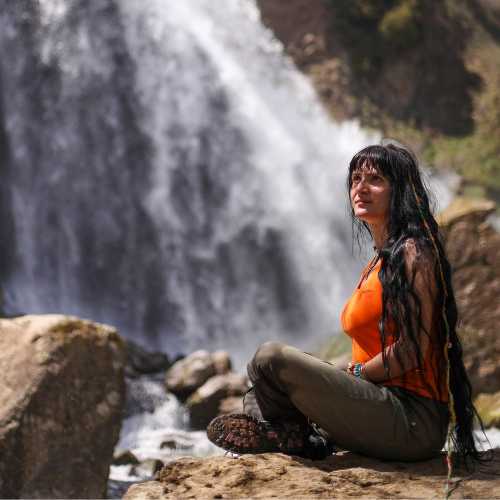
Things to see


Named for its starting point, the pagan temple of Garni, this trail takes you through the Azat River Gorge, where you’ll find impressive rock formations and the “Symphony of Stones” natural monument. End your hike at the Azat Reservoir.
This marked trail starts at the temple of Garni in Garni village, just a 45 min drive from Yerevan. Take some time at the top of the cliff overlooking the ravine to explore the temple complex. A symbol of pre-Christian Armenia, Garni temple attracts tourists from all over the world! When you’re ready to make the descent down to the Azat River Gorge, read the trail information board and get hiking!
The trail will take you past the “Symphony of Stones,” a natural monument made up of well-preserved hexagonal and pentagonal basalt columns. Near these stones you’ll notice an 11th-century medieval bridge, which you can take to the Khosrov State Reserve, if you feel like making a detour. Otherwise, continue through the Azat River Gorge and admire the striking beauty of the geological formations on either side. You’ll end your hike at the serene waters of the Azat Reservoir. If you catch it around sunset, you’ll find the surrounding mountains awash in brilliant red sunlight. The Reservoir is a beautiful spot to camp for the night.
This trail is of medium difficulty and takes about 3 and a half hours. Keep in mind that this is a one-way trail; if you’d like to end back at Garni, you will have to head back the way you came through the gorge, making for a total hike time of 7 hours. Alternatively, you can retrace your steps for about 4 km (1 hour and a half), and exit the trail at the road leading to Banavan village. There you can arrange for transportation back to Yerevan.


1bf6f08af7094eb0989bbaa6de7b3986.jpg?sfvrsn=310c50ab_8)
