When it comes to hiking in Armenia, there’s a whole lot of countryside to explore – from lovely Lori in the north to stunning Syunik in the south. And while we can’t think of a better way to spend your day off than getting lost in nature, we understand that sometimes life gets in the way. Maybe you don’t have an entire day to spare or maybe you just don’t feel like making a long commute. Still, when life in the city gets a little too hectic, there’s nothing better than a good dose of fresh air to clear your mind. And now, thanks to a number of new trail additions to our website, stepping away for a breather has never been easier – or closer! Keep reading to learn about 7 great hiking trails located roughly an hour outside of Yerevan.
2 Churches + Gorge Trail

Location: Saghmosavan village to Ohanavan village, Aragatsotn Province
Distance: 7.9 km
Time: 3.5 hrs
Distance from Yerevan: 45 min (34 km)
This medium-level hike will have you hiking from the 13th-century Saghmosavank Monastery to the 4th-century Hovhanavank Monastery, using restored footpaths once used by locals to traverse the Kasagh River Canyon. Both structures are perched atop the picturesque canyon, making for a truly spectacular sight. Along the way, you’ll pass by a small waterfall as well as the ruins of the 4th-century Gregory the Illuminator Church. Be wary of snakes in the gorge during springtime, and keep in mind that there are two short sections of the trail where you’ll have to maneuver groups of small boulders.
Cosmic Trip Trail

Location: Byurakan village to Orgov village, Aragatsotn Province
Distance: 4.3 km
Time: 2.5 hrs
Distance from Yerevan: 45 min (36 km)
Travel through time and space on this medium-level hike from the impressive Byurakan Astrophysical Observatory to the towering Radio-Optical Telescope in Orgov. Starting at Byurakan, you can kickstart this cosmic trip with a guided tour of the observatory, which was founded in 1946 by famous Armenian scientist Viktor Hambartsumyan. An important scientific center in the former USSR, its scientists have made a staggering number of astronomical discoveries over the decades. From the observatory, you’ll make your way down through the river valley and back up to the other side in Orgov, where you can get a close-up look at the massive Radio-Optical Telescope. In order to enter the telescope grounds, make sure you call ahead of time at +374 010 232 600. And for more information on Byurakan Observatory, check out bao.am.
Aparan Reservoir Loop

Location: either Jrambar village or Yeghiapatrush village, Aragatsotn Province
Distance: 6.5 km
Time: 3.5 hrs
Distance from Yerevan: 1 hr (49 km)
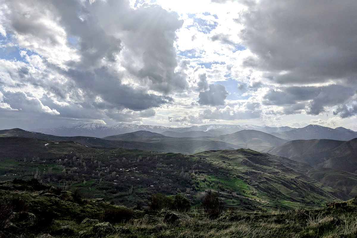
Pass by the ruins of an abandoned village on this easy, picturesque hike along the beautiful Aparan Reservoir. As you make your way up the reservoir bank, you’ll find yourself walking among the remnants of Old Zovuni village, which was abandoned back in 1965. Keep your eyes peeled for the Mausoleum of St. Vardan Mamikonyan, the Armenian hero known for leading the Armenian army at the Battle of Avarayr in 451 against the Sassanid Persians. On the bank of the Aparan, near the Mausoleum, you’ll also see the ruins of the 5th century St. Poghos-Petros Church. Depending on the tide, you may find the ruins submerged in reservoir waters, with only the church’s cross peeking out. From there you will start walking through the pine forests that will take you up and eventually back towards the reservoir. On the second half of the loop, you will be met by a fantastic view of the water and the peaks of Aragats Mountain in the distance.
This trail has two possible access routes, one from Jrambar village and other towards Yeghiapatrush village. From Jrambar, you’ll have to drive over the reservoir itself, and guards are stationed at the crossing point. Occasionally, they will not let travelers cross, which is why the second access route exists.
Flowering Lake Loop

Location: Arthurs Aghveran Resort, Arzakan village, Aragatsotn Province
Distance: 10.1 km
Time: 5 hrs
Distance from Yerevan: 1 hr 5 min (49 km)
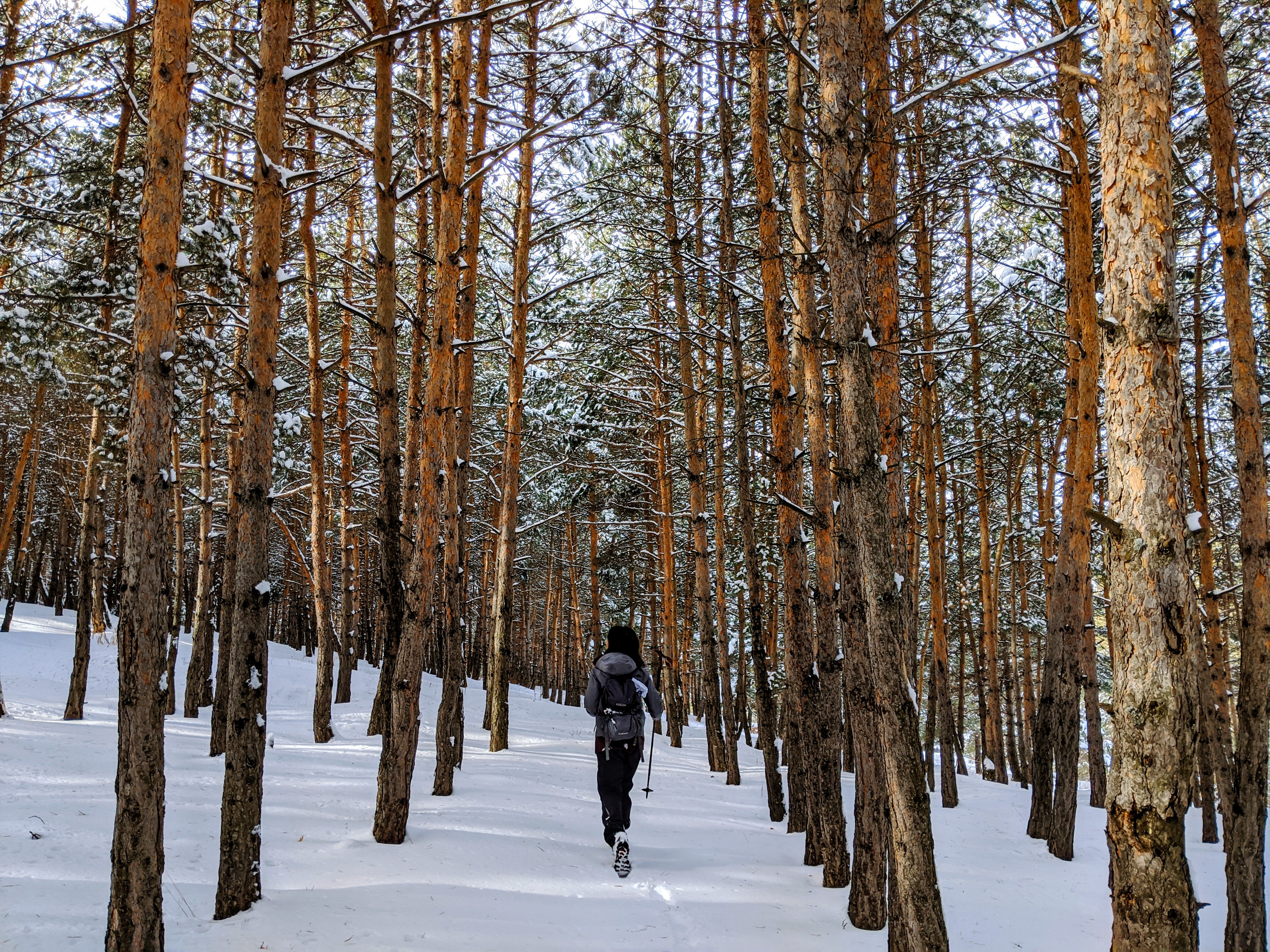
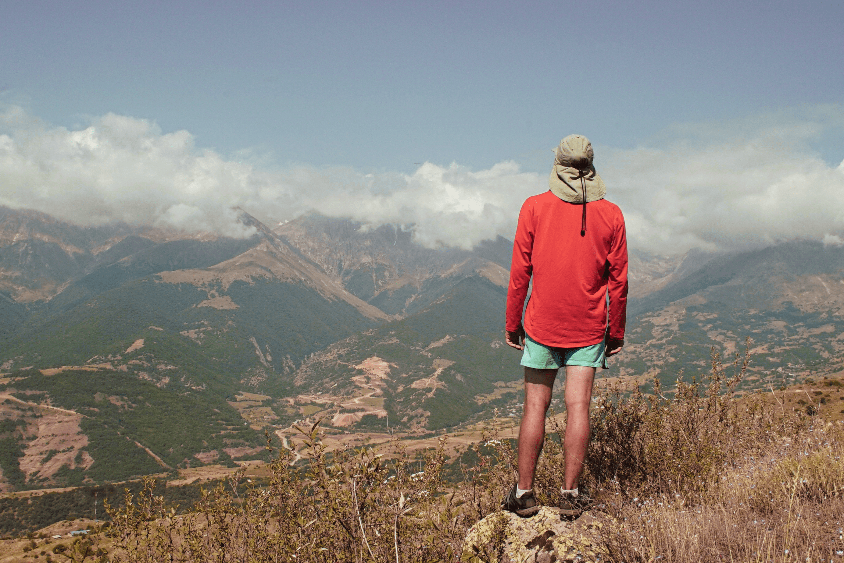
Starting right by the Arthurs Aghveran Resort in Arzakan, a village known for its spas and resorts, this difficult loop trail takes you up the beautiful ridges of the Tsaghkunyats mountains. Formed by a volcanic field, this mountain range stretches from the Pambak Mountains in the north to the right bank of the Hrazdan River in the southeast. Its highest peak is Mount Teghenis, which you can see from this trail. After crossing from Kotayk Province into Aragatsotn Province along the mountainsides, you’ll find Tsaghkunyats Lake, where you can get a spectacular view of the surrounding landscape. From there, the trail goes down and back to the resort area via the ridgeline on the east side of the valley. If you’d like to hike this trail in the winter, we strongly advise you to wear snowshoes as there can be quite a bit of snowfall. Make sure you’re aware of the snow conditions before heading out – risk of an avalanche is always possible.
Cloud Fortress Loop

Location: either Antarut village or Amberd Fortress, Aragatsotn Province
Distance: 7.1 km
Time: 3.5 hrs
Distance from Yerevan: 1 hr 10 min (54 km)
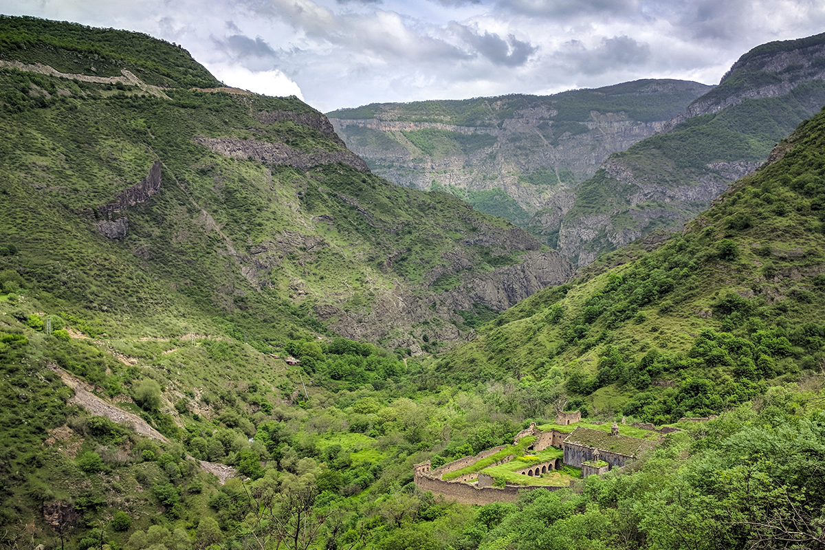
This medium-level trail takes you from Amberd, the legendary “fortress in the clouds”, to Antarut village, though it can be hiked in either direction. Take some time to explore the 10th-century fortress complex, which stands at a staggering 2,300 meters (7,500 ft) above sea level, on the slopes of Mt. Aragats. After exploring the fortress halls and rooms, head to the 10th-century bath house which, when operational, used hypocaust heating, a system of central heating that produces and circulates hot air below the floor of the room. Keep in mind that entry to the complex costs 700 AMD and 1400 AMD for non-citizens, and the site opens at 10AM.
From Amberd, wind your way down into the Arkashian River valley along an ancient trail, stopping to admire an interesting rock formation that resembles the sun along the way. Once you’ve passed through the valley’s forests, you’ll get a unique view of the fortress. If you’re up for another short hike once in Antarut, the Cosmic Trip trail starts in nearby Byurakan.
Angels’ Canyon Loop

Location: Dashtakar town, Ararat Province
Distance: 10.9 km
Time: 2.5 hrs
Distance from Yerevan: 1 hr (54 km)
This easy loop hike takes you through the small but beautiful Angels’ Canyon and across sprawling dirt hills. In the village of Dashtakar, near Vedi, you’ll see a sign pointing you down a dirt road to the canyon. Drive down this road following the Barakaghbyur River until you hit a shallow river crossing. If you’re in a 4x4 vehicle, you can cross it. Otherwise, park up and make your way across the river and over a hill to the true start of the trail. Head left into the little canyon, whose jagged red rocks give it a Martian-like feel. Along this trail, you may see a number of wild animals like the Armenian tortoise or the steppe eagle. At the canyon’s end, make a short scramble up some rocks to continue following the dry riverbed over grassy hills. At the halfway mark, turn right up onto a dirt road, which will take you back to where you started, with a view of Mt. Ararat in the distance.
Temple of the Sun Trail

Location: Garni village to Azat Reservoir, Kotayk Province
Distance: 13 km
Time: 3.5 hrs
Distance from Yerevan: 45 min (27 km)
Named for its starting point, Garni temple, this medium-difficulty trail takes you through the Azat River Gorge, where you’ll find various impressive rock formations. Before starting, take some time at the cliff overlooking the ravine (and trail) below to explore the temple complex, a symbol of pre-Christian Armenia. Make the descent down to the Azat River Gorge, and admire the Symphony of Stones, a natural monument made up of well-preserved hexagonal and pentagonal basalt columns. Note the nearby 11th-century medieval bridge (which leads toward the Khosrov State Reserve) before continuing through the gorge, admiring the striking beauty of geological formations along the way. End your hike at the serene waters of the Azat Reservoir.
Keep in mind that if you’d like to head back to Garni, you will have to head back the way you came through the gorge, making for a total hiking time of 7 hours. Alternatively, you can retrace your steps for about 4 km (1 hr and 30 min), and exit the trail at the road leading to Banavan village, where you can arrange for transportation back to Yerevan
Transportation
If you have a car, driving to and from the above-mentioned trails is relatively easy, with GPS. Alternative transportation, however, is a bit trickier. With the GG app, order a taxi for our desired destination. As for finding a car back, there are several options we recommend. When you reach your destination, ask your driver if they would be willing to wait by the trail and take you back to Yerevan when you’ve finished. This is the most expensive option, as your driver will have to leave the meter on while they wait. Another option is to ask your driver to come back to the trail site in a few hours, when you’ve finished your hike. Make sure to get their number – they will likely choose to make this ride independent of the GG app. Otherwise, you can search GG for a driver accepting ride requests nearby, though there aren’t usually many that far outside of Yerevan. If you’re really stuck and can’t find a car, try asking a local! They are usually happy to help you call the local cab service. If none of these options work (or if you’re just up for some more adventure), try hitchhiking! As these trails are all roughly an hour drive from Yerevan, it’s relatively easy (and safe) to flag down a car for a ride back to the city.
. . . . . . .
There are more trails where these came from! Download our free app or visit our website to browse over 50 trails in Armenia and get hiking today!