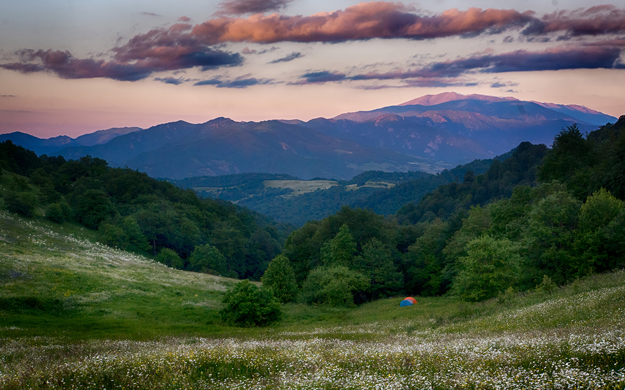
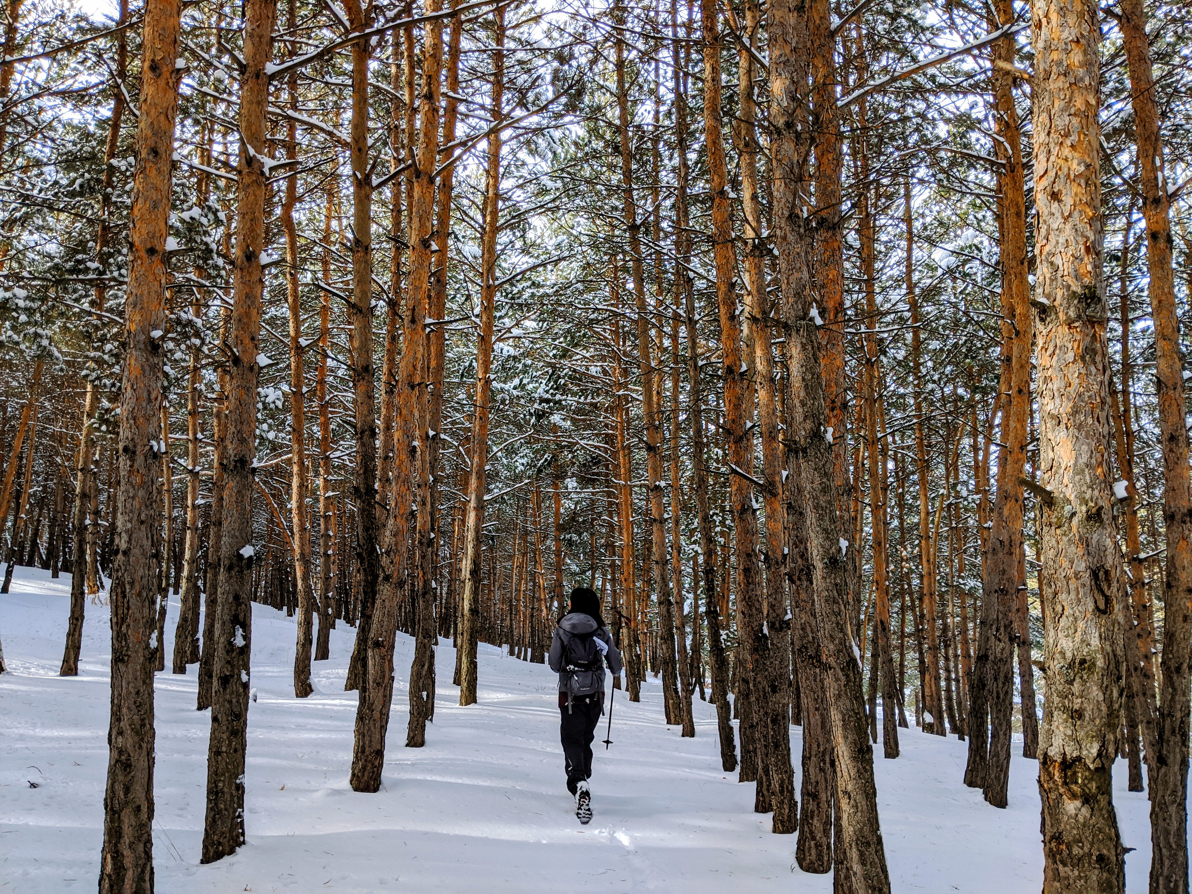
Here in Armenia, we are lucky enough to be surrounded by natural beauty, so you don’t necessarily have to climb the tallest mountain or traverse the most taxing terrain in order to experience stunning views. But, if you’d like to, you certainly can! Maybe you’ve been cooped up over the colder months and now that spring is peeking out at us, announcing its long awaited return, you are hoping to put your strongest foot forward as you reacquaint yourself with hiking.
If you’re looking for some of Armenia’s most challenging trails, look no further! On the other hand, if you would like some easier trails, you can look further at our article, 5 Easy Spring Hikes. But, there are a plethora of trails that will satisfy you if elevation gain and/or difficult terrain are your goals. Here are five hikes that will leave you out of breath, literally and figuratively!

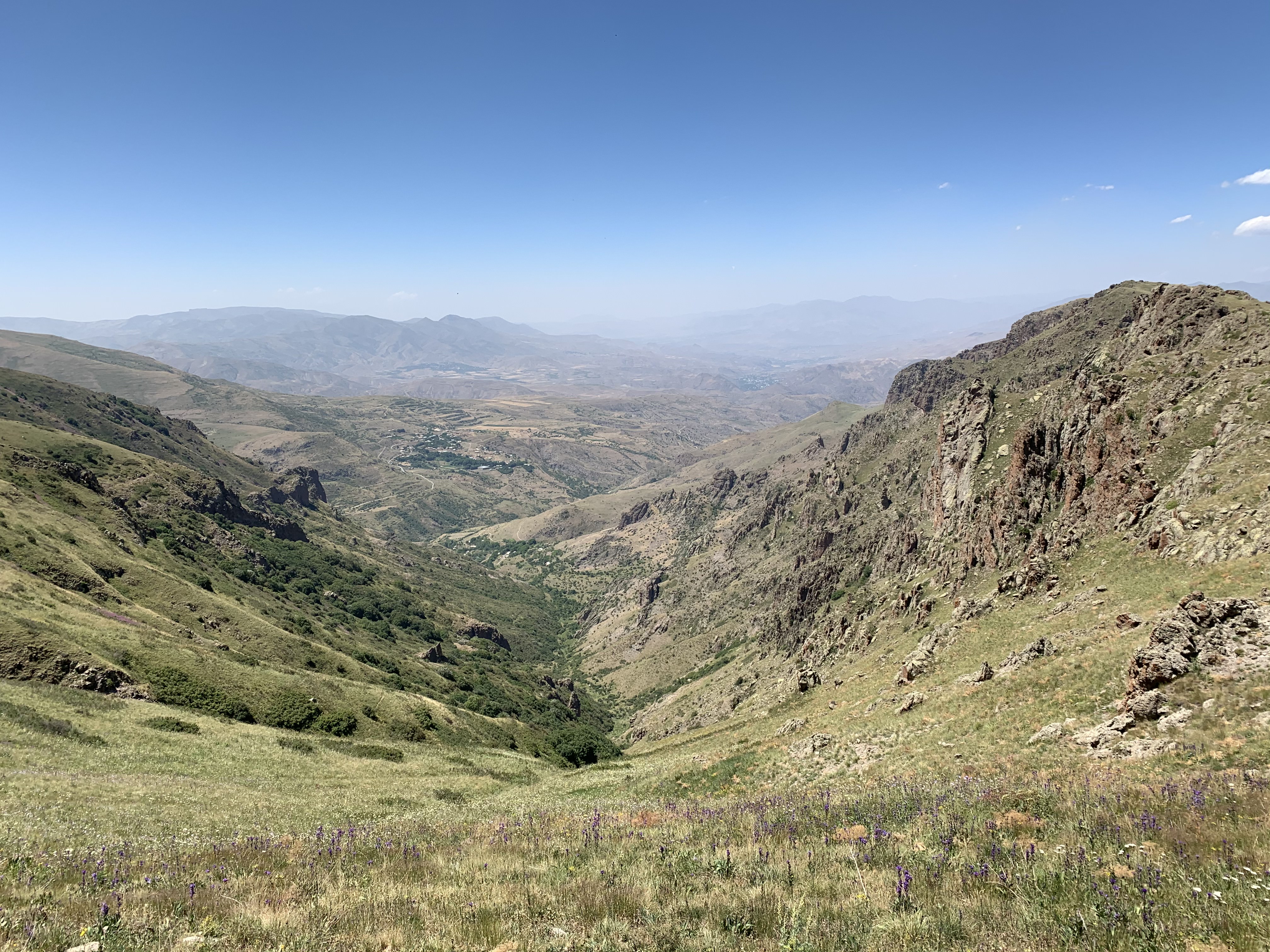
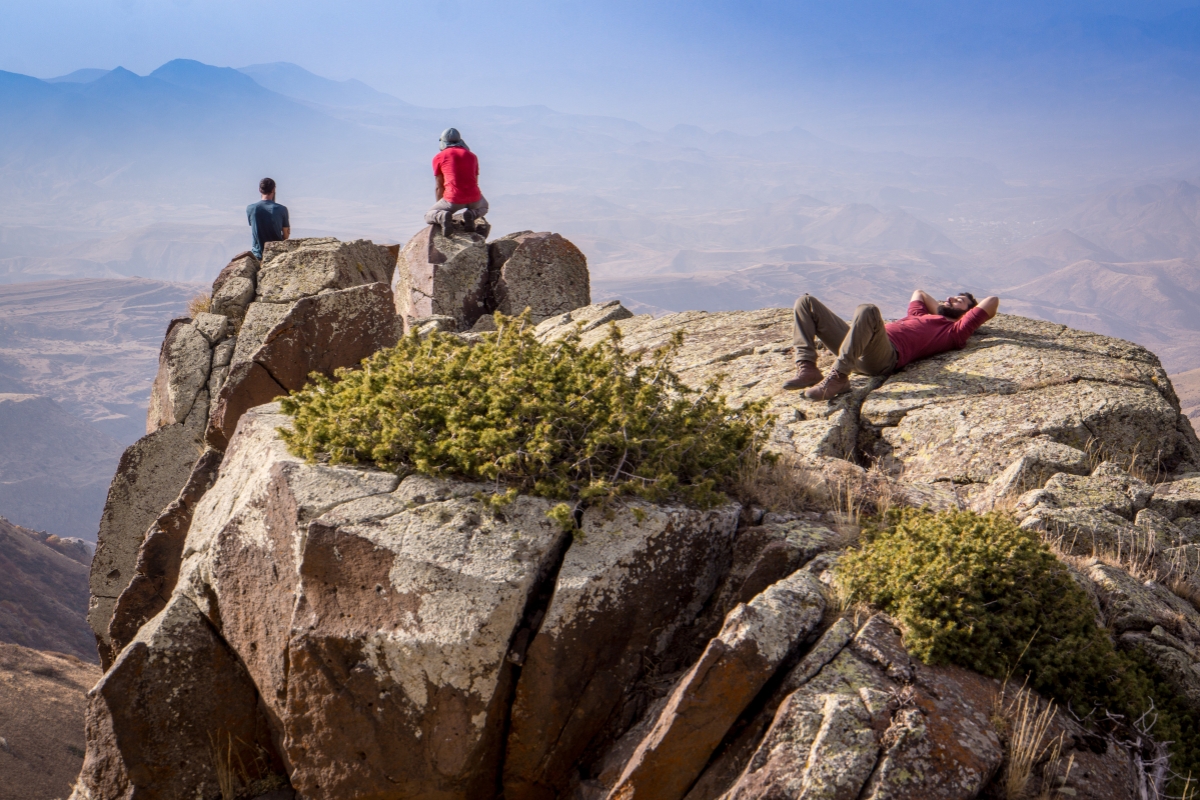
Stairway to Heaven Trail
Location: Vayots Dzor Province
Distance: 14.2 km
Time: 5–6 hrs
Did you know that the Silk Road ran through Armenia? In fact, because the country straddles Europe and Asia, it was a keypoint along the Road. Armenians were known for fostering cross-continental trade due to their geographical positioning and savvy business skills. A portion of this 14.2 km trail is said to have been part of the ancient trading route connecting East to West! You can take a slight detour if you would like to see some khachkars, intricately carved cross-stones used as memorials and gravestones. While this trail is steep, you will have no trouble staying hydrated with the natural springs that you will find along the way- Armenians love the fresh water that flows from the mountains, and we’re sure you will too!

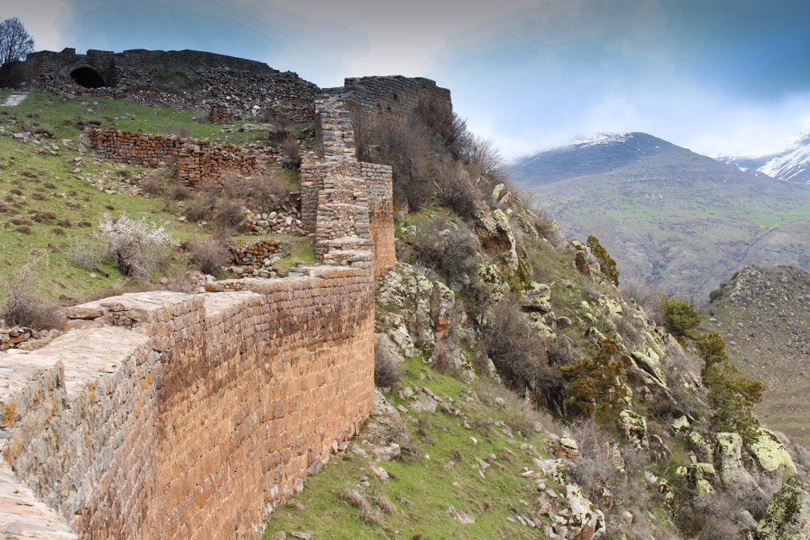
Hayeli Lake Loop
Location: Vayots Dzor Province
Distance: 13.5 km
Time: 6 Hours
This scenic trail starts and ends in the village of Artavan, with two off-shoots: one that will take you to a beautiful waterfall, and another to a mysterious fortress. The midpoint of the Hayeli Lake Loop is Lake Hayeli (hayeli means “mirror” in Armenian), an ideal place for lunch before resuming your hike. The lake is also where the second one-way off-shoot begins to Andranik’s Fortress. The fortress is situated atop a hill with 360 panorama views looking back at Artavan, and at Armenia’s southernmost province, Syunik. Note: The trail length for the loop is 13.5km, but with the additional two off-shoot trails you can expect to cover a grand total of 21km.

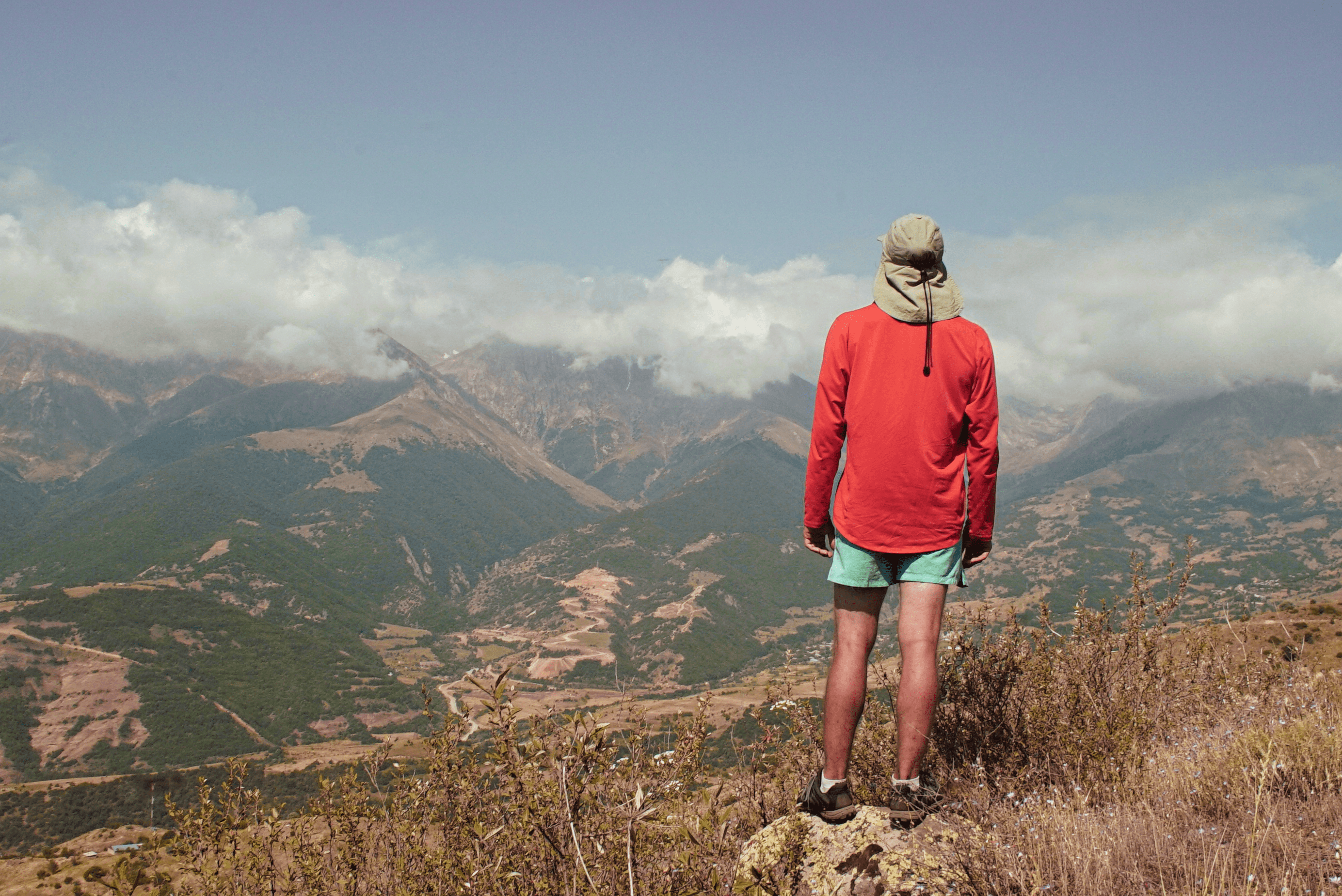
Mt. Apakeqar Trail
Location: Tavush Province
Distance: 8 km
Time: 4 Hours
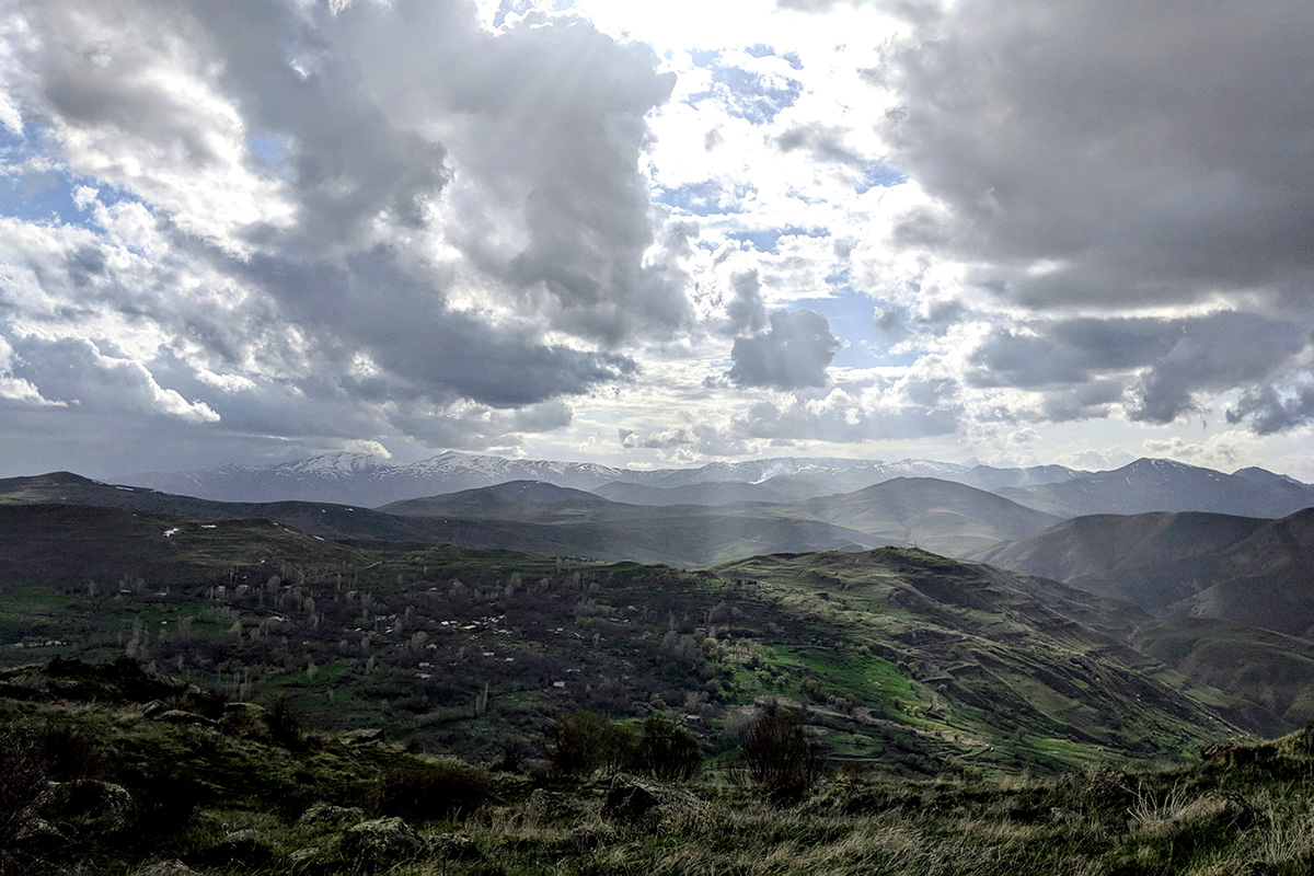
If you want to go up, up, up, then this is the trail for you. This hike takes you to the peak of Mount Apakeqar (1,626 m) from which you will have a panoramic view of Dilijan National Park. Apakeqar is located between the villages of Hovk and Haghartsin, home to the recently renovated 13th century Haghartsin Monastery complex. You can pass through the villages of Hovk and Haghartsin either on your ascent or descent, depending on the route you choose to get to the top of Apakeqar. Speaking of ascents, expect to experience an elevation gain of about 695 meters.
360 Dilijan Trail
Location: Tavush Province
Distance: 19.5 km
Time: 8 Hours
The high point of this trail, literally, will provide you with a 360 degree panoramic view of Dilijan National Park. Besides its length (19.5 km), the difficulty of this hike lies in its winding nature and some unmarked sections. But, if you keep in mind that Haghartsin Monastery is waiting for you at the end, we believe that you will have no difficulty doing all things necessary to keep on going. And, our app will be with you every step of the way! No internet up in the mountains? Not a problem. You can download trail tracks for offline use, which we recommend you do before every hike!

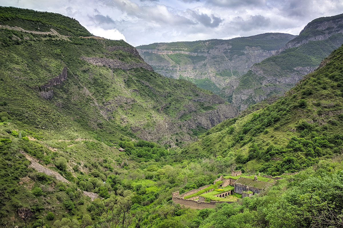
Holy Cliff Trail
Location: Tavush Province
Distance: 24 km
Time: 8 Hours
This is one of the longer hikes featured on our app and website, coming in at 24 km. This trail follows the Transcaucasian Trail (TCT) route through Armenia. The TCT is a long-distance trail that, upon completion, will stretch from Armenia’s southern border with Iran to Georgia in the north, and go on into Georgia and neighboring Azerbaijan. While parts of this trail are comprised of historic footpaths, much of it has recently been built as part of the TCT. Thus, this offers another opportunity to traverse ancient paths while also feeling like you’re a part of something new! You’ll start from Haghartsin Monastery complex and pass impressive limestone cliffs along the way to the village of Hovk.
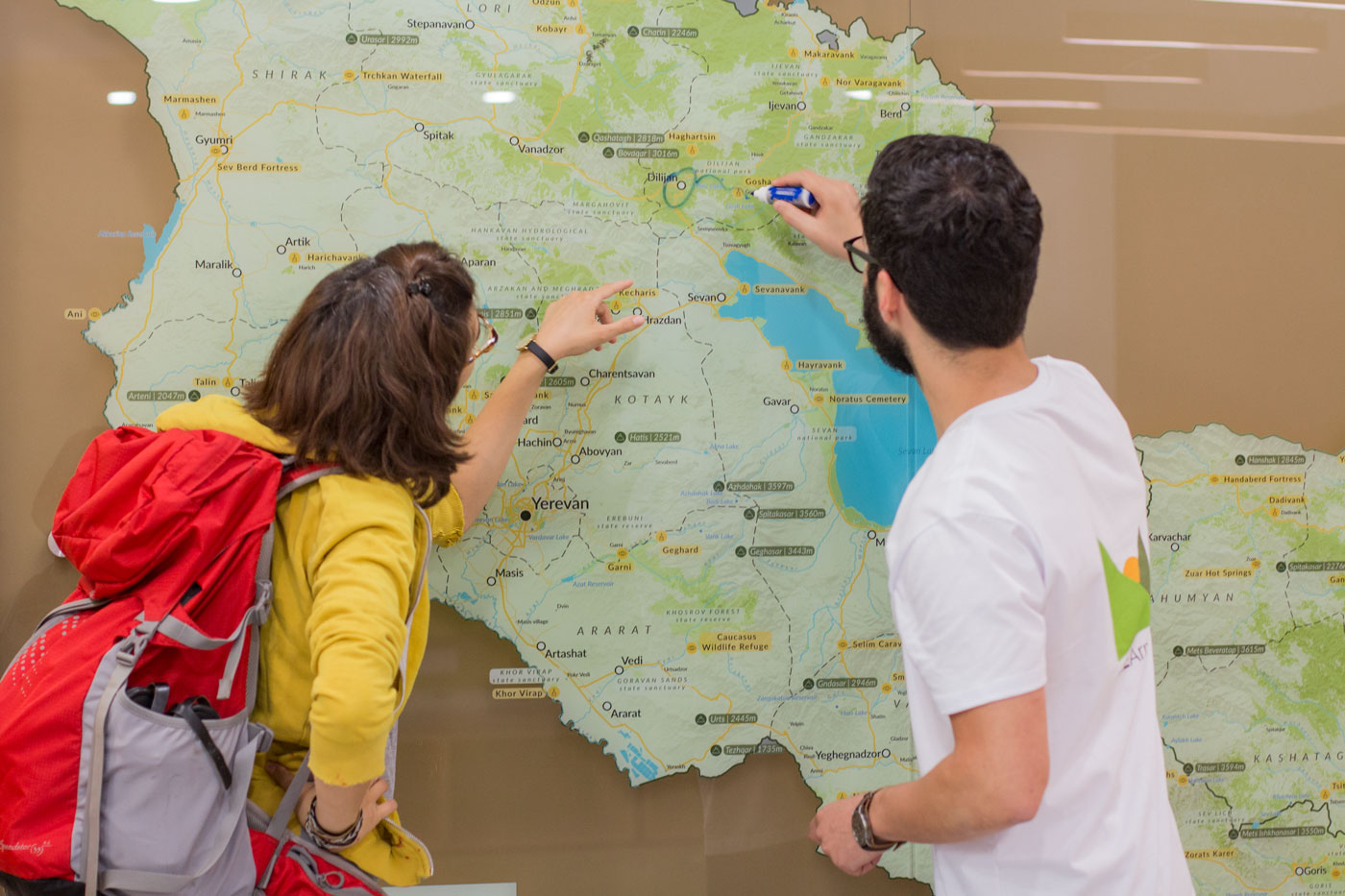
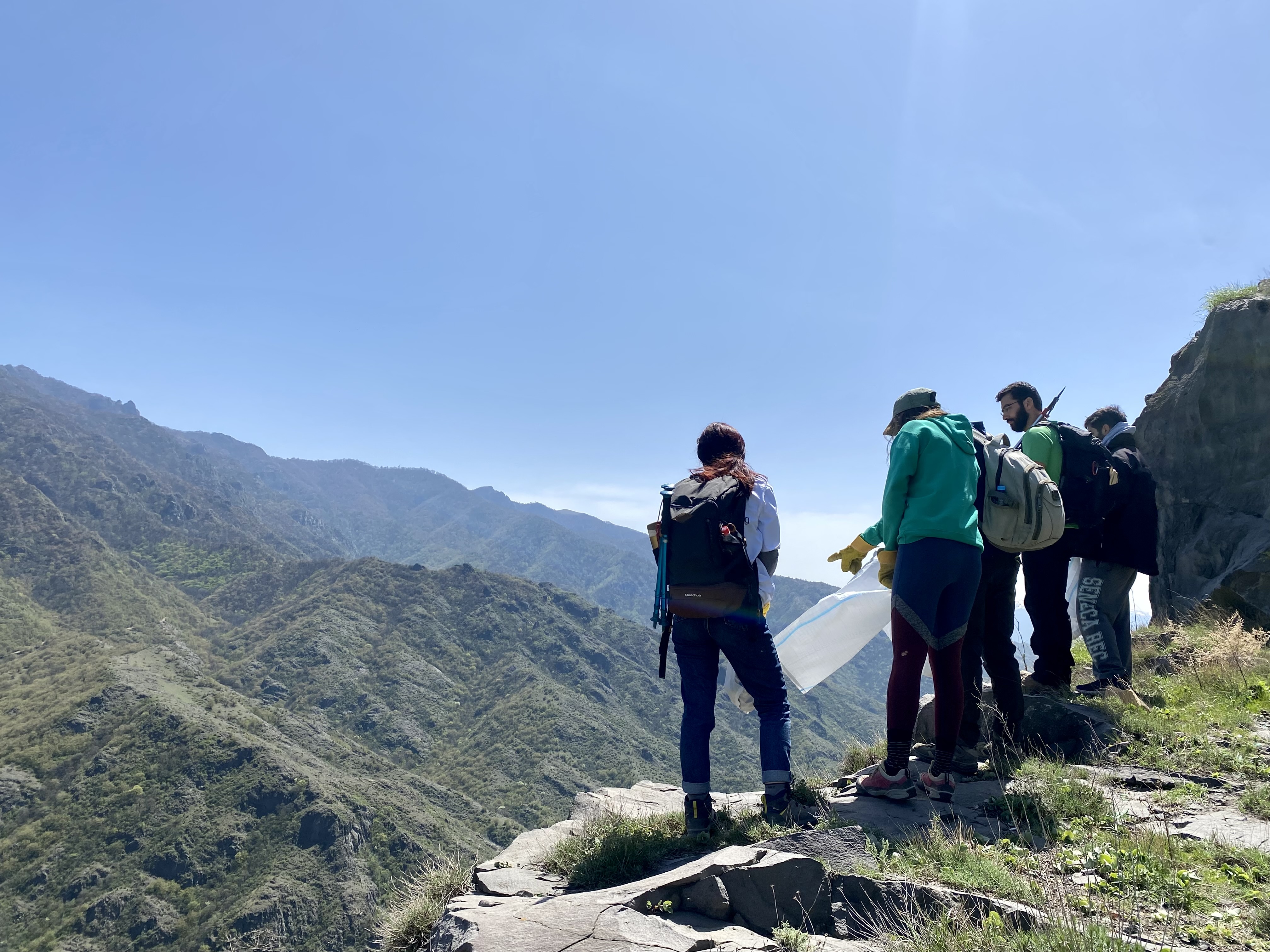
While we love writing about these trails for you to read, we highly suggest you come and see them for yourself! If you would like additional resources or help planning your trip, you can always visit our website and download our free app. Have specific questions about hiking in Armenia before you book your flight? You can always message us on social media, or send us an email at info@hikearmenia.org.


-de.jpg?sfvrsn=4057b835_12)